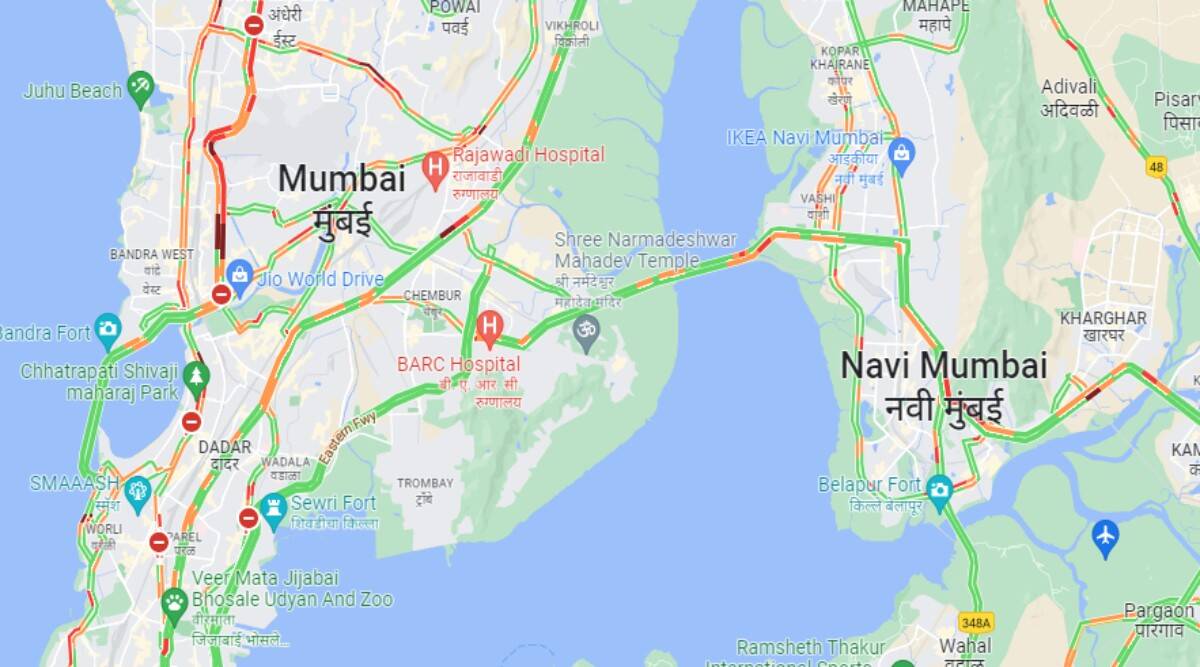
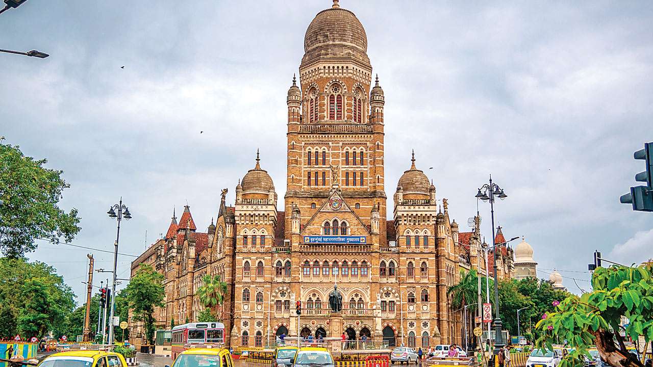
After attempting the project as a pilot in South Mumbai’s Worli neighbourhood in September of last year, the Brihanmumbai Municipal Corporation (BMC) has begun the process of developing a three-dimensional digital model of Mumbai city.

In addition to its open spaces, municipal facilities, and slums, Mumbai’s buildings, roads, bridges, underpasses, water bodies, means of transportation, and traffic islands will all be represented on a digital map thanks to the process of 3D mapping. There will be a 360-degree street view on this map.
The initiative is being carried out for the first time across Mumbai. The Worli region, which is mostly encompassed by the G/South administrative ward of the local body, was 3D mapped by BMC in September 2021.
While Mumbai City is around 480 sq km in size, the project will be carried out over an area of 500 sq km since buffer space is needed while employing mapping technologies.
The civic organisation has issued a request for proposals (RFP) for the project and is open to suggestions from consultants and specialists to narrow the project’s scope. The project will subsequently be assigned to a third party as a contractor with an 18-month time frame. Once the initiative is operational, BMC will also track city changes year over year for the following three years as part of the project.
While the world we live in is 3-dimensional in nature, planning and development operations involving urban government, city infrastructure renovations, and more are still done on 2D maps, according to BMC, which highlighted the project’s benefits in its call for proposals. Urban governments must be able to visualise cities in 3D for thorough 360-degree views, perform simulations, and do in-depth data analysis, all of which are inefficient and nearly impossible on antiquated 2D maps, in order to satisfy the expectations of cities in the 21st century.
The civic body will upload the 3D map to a private cloud so that the administration may utilise it to plan infrastructure and development, mobilise crisis management and response, and analyse the environment.
It will be possible to run simulations to determine the effect zones of projects, catastrophes, and interventions in urban governance because it is a “digital twin” of Mumbai city that was produced in real time.
The BMC will also perform simulations for scenarios like emergency management, Mumbai’s fire department’s operations, planning for existing roads and bridges, estimating and collecting property taxes, development planning, and encroachment detection.
Aerial photogrammetry, which allows for mapping of distances and measurements between objects, a Light Detection and Ranging (LiDAR) survey, and change detection using geospatial technology, which includes use of geographic information systems (GIS), remote sensing (RS), and global positioning systems, are the surveys that will be used to create the map (GPS).
