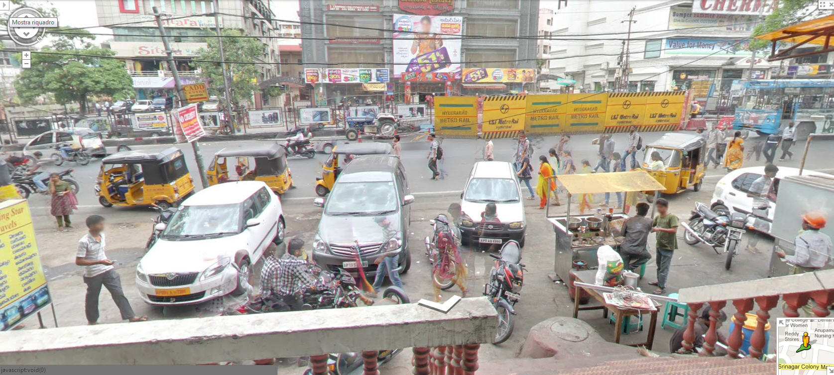
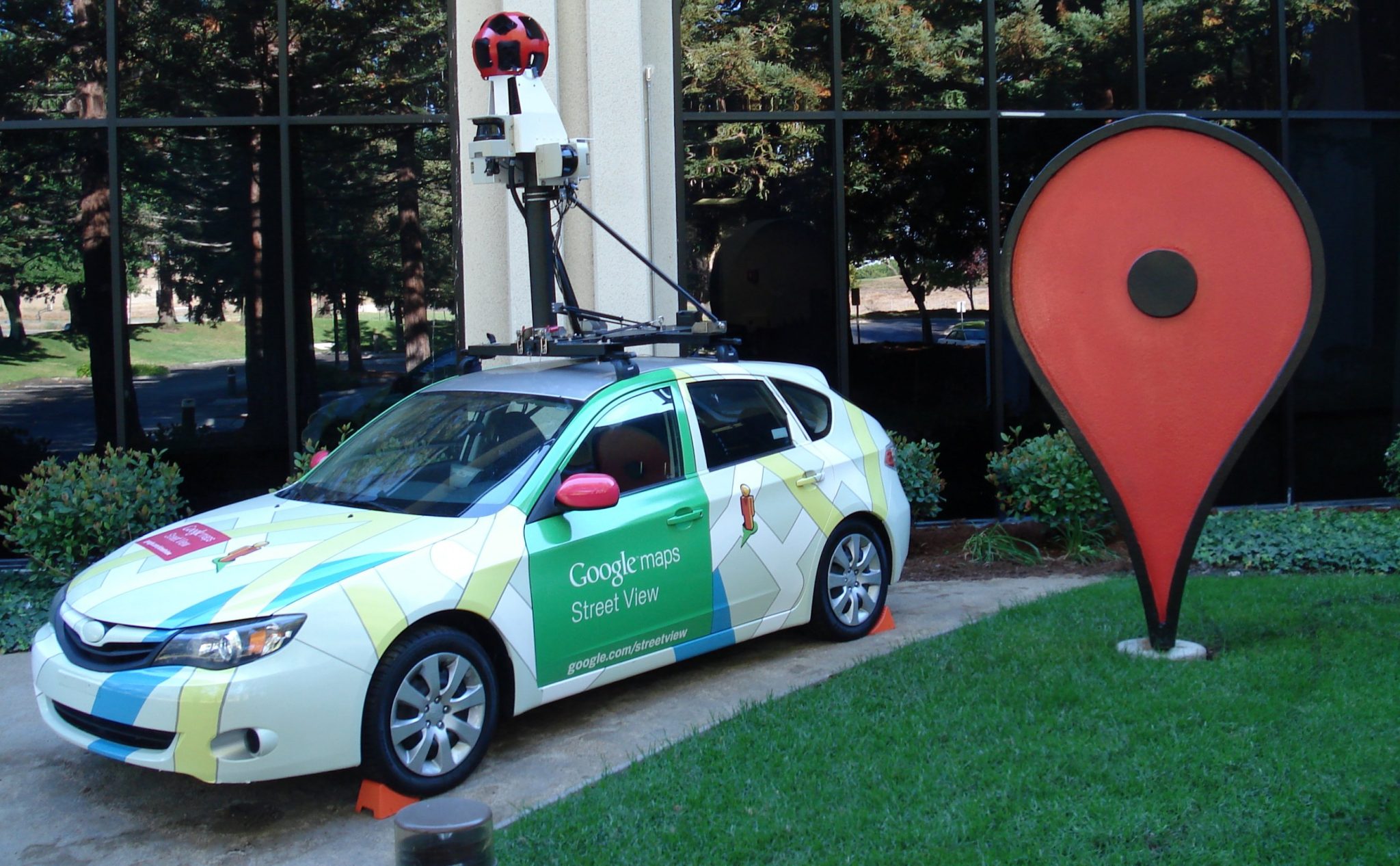
Google has introduced its 360-degree interactive panorama feature for 10 Indian cities using data from local partners Tech Mahindra and Mumbai-based Genesis International, ten years after it was banned from collecting data for its Street View services.

The new National Geospatial Policy, 2021, has made this feasible by allowing local businesses to gather this type of data and licence it to others. This also makes it the first country where Street View has been enabled largely by partners. Street View, also known as Project Gullify, will begin operating in 10 Indian cities initially and expand to 50 by the end of the year, mapping more than 700,000 km in that time.
The partners have “basic geospatial technology and knowledge, as well as logistical experience,” according to Miriam Karthika Daniel, VP of Google Maps Experiences, and have the “capacity to expand over a number of places concurrently.”
Daniel cited the clarity the new Geospatial Policy gave as the reason for the launch’s success. “First of all, it demands that local organisations be in charge of data collection. Therefore, the partners are the ones gathering and possessing the data. Depending on the type of camera, they must gather it at a specified level of fidelity. Our partners even set up the cameras,” the woman stated.
The regulation, Daniel continued, even lists the government, military, and other fields where data collection is permitted and prohibited. As a result, “our partners are well aware of the majority of India where they can go and gather [info].”
Following complaints from the Bengaluru police in 2011, Google halted its Street View activities in India. Indian competitors like Wonobo and subsequently MapMyIndia started providing their own versions of interactive panoramic maps. However, given its connection with Google Maps, Street View is anticipated to have a considerably greater impact, assisting users in discovering nearby businesses and providing a better awareness of traffic conditions.
Additionally, Google has announced the addition of speed restriction information for Bengaluru and Chandigarh as well as traffic congestion information for nine locations to its maps. Additionally, it is developing the environmental insights explorer tool, which will allow planners to better understand how to minimise emissions in cities by measuring emissions based on traffic patterns. In a select places, it will also start displaying localised Air Quality Index (AQI) street-level statistics.
According to Birendra Sen, Business Head, Business Process Services, Tech Mahindra, they mapped cities using Mahindra cars, of which 10% were green vehicles. Sen continued, “This data will stimulate new use cases, including the creation of base data for driverless cars in India.
Google is already considering expanding this relationship concept to other continents.
Street View will also help Google Maps get better since it can interpret data on things like road conditions and other things that are sometimes unclear in satellite photos. “We are able to apply our technologies, which have been in development for more than ten years, and utilise AI and ML to interpret the data, such as on information on addresses and road conditions, and put it back on the map for users,” added Daniel.
